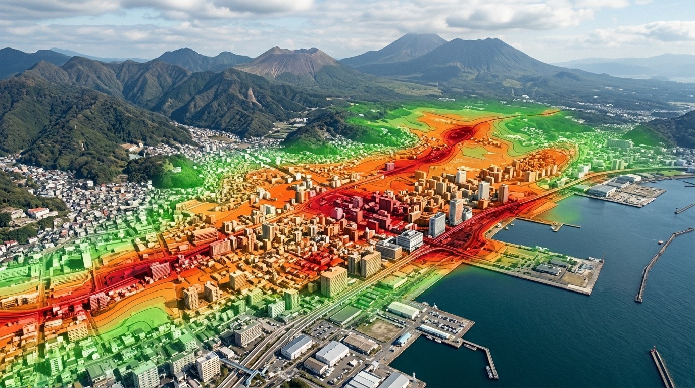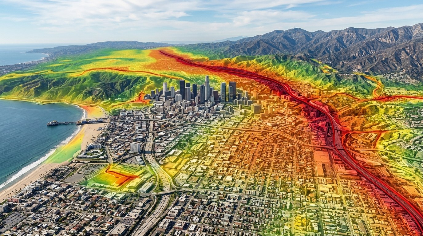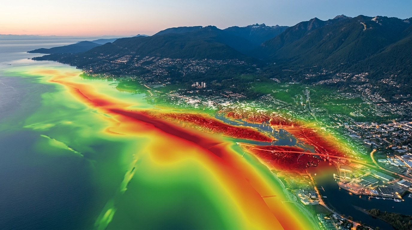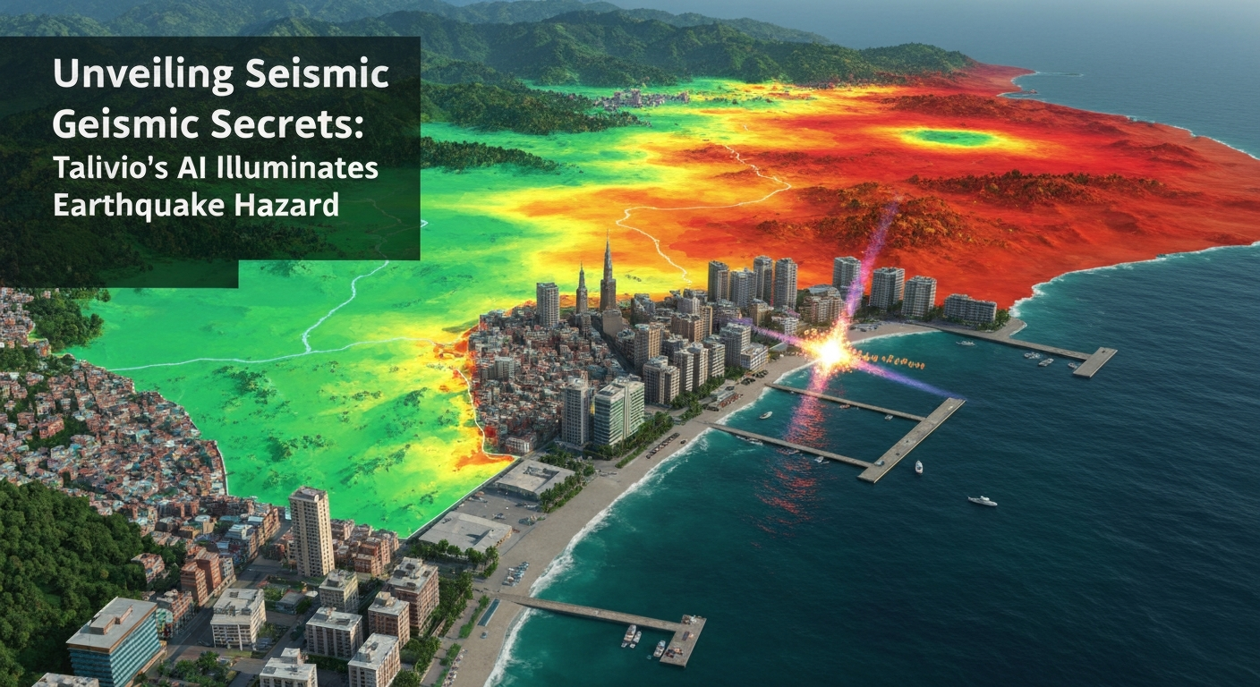
The towering peaks of the Himalayas, Earth's highest mountain range, are a breathtaking testament to the planet's dynamic geological processes. Yet, beneath their serene beauty lies one of the most seismically active and hazardous regions on Earth. Formed by the ongoing collision of the Indian and Eurasian tectonic plates, this vast orogenic belt, particularly the Nepal-Tibet Himalayan Front, is a crucible of immense stress accumulation and frequent seismic activity. Understanding and mitigating the risks posed by this environment is a monumental challenge, one that Talivio's artificial intelligence (AI) models are uniquely equipped to address by providing data-driven insights into the region's complex seismic hazard.
The Tectonic Crucible of the Himalayas
The Himalayas represent the quintessential continental collision zone, a geological phenomenon driven by the northward movement of the Indian Plate into the Eurasian Plate at a rate of approximately 4-5 cm per year. This relentless convergence has resulted in significant crustal shortening and thickening, accommodating roughly two-thirds of the total plate convergence. The primary structure accommodating this shortening is the Main Himalayan Thrust (MHT), a gently dipping décollement that underlies the entire range. Above the MHT, a series of major thrust faults – including the Main Boundary Thrust (MBT) and the Main Central Thrust (MCT) – bring older rocks over younger ones, creating the characteristic imbricate thrust belt of the Himalayas.
The continuous motion of the Indian Plate beneath Eurasia leads to the accumulation of elastic strain energy along the MHT and associated fault systems. This energy is periodically released as earthquakes, ranging from small, imperceptible tremors to devastating mega-thrust events. Historical records and paleoseismological studies confirm a long history of large earthquakes in the region, with some segments of the MHT rupturing repeatedly over centuries. The spatial and temporal distribution of these events, along with the varying rates of crustal deformation, makes the assessment of future seismic hazard particularly challenging but critically important for the millions of people living in this tectonically active zone. Research consistently highlights the immense stresses building up along these fault systems, emphasizing the persistent threat of large-magnitude earthquakes [Aftab et al., 2020 — DOI:10.3390/geosciences10110438].
A Legacy of Seismic Activity: Understanding Past Events
The seismic history of the Nepal-Tibet region is punctuated by numerous significant earthquakes, each offering valuable lessons about the underlying tectonic processes. One of the most impactful recent events was the M7.8 Gorkha earthquake (usgs:US20002926) that struck central Nepal on April 25, 2015. This devastating earthquake, followed by a powerful M7.3 aftershock on May 12, resulted in nearly 9,000 fatalities, widespread destruction, and triggered numerous landslides across the mountainous terrain. The Gorkha earthquake provided crucial insights into the behavior of the MHT, revealing that a significant portion of the fault beneath Kathmandu had ruptured, but critically, it did not rupture all the way to the surface, nor did it release all the accumulated strain in the region.
Post-Gorkha analyses indicated that while a large segment of the MHT slipped, some adjacent segments, particularly to the west, remain 'locked' and are still accumulating stress. This observation fuels concerns about potential future large earthquakes in these unruptured segments, often referred to as 'seismic gaps.' Such areas are prime candidates for high seismic hazard, as they have not released strain in a long time and are accumulating elastic energy that will eventually be released. Comprehensive seismic hazard assessments for the Central Himalaya, including the segments that ruptured in 2015 and those that did not, are vital for regional planning and disaster preparedness [Mugnier et al., 2017 — https://www.nepjol.info/index.php/HJS/article/view/17822]. The 2015 event underscored the complex nature of fault rupture and the persistent need for sophisticated analysis to understand where the next major event might occur [Grandin et al., 2015 — DOI:10.1002/2015GL065196].
Talivio's AI: Decoding the Himalayan Seismic Signature
The intricate seismotectonic environment of the Nepal-Tibet Himalayas generates an enormous volume of complex data, far beyond the scope of traditional manual analysis. This is where Talivio's AI-driven platform excels. Our models are designed to process and interpret this multifaceted data, extracting meaningful patterns and indicators of earthquake potential that might otherwise remain hidden. Talivio's methodology leverages a robust machine learning framework to provide actionable insights into seismic hazard.
At the core of Talivio's analysis are 102 distinct seismic features, meticulously engineered to capture the most relevant aspects of earthquake physics and crustal deformation. These features include, but are not limited to:
- GNSS Strain Rate: Data from Global Navigation Satellite Systems (GNSS) provides precise measurements of ground deformation, revealing how quickly different parts of the crust are deforming and accumulating elastic strain. High strain rates often correlate with areas of increased stress accumulation.
- b-value Anomaly: The b-value, derived from the Gutenberg-Richter law, describes the ratio of small to large earthquakes. Anomalously low b-values can indicate increased stress in a region, as fewer small earthquakes occur relative to larger ones, suggesting a higher likelihood of a major event.
- Coulomb Stress Transfer: Earthquakes can trigger subsequent events by changing the stress field on nearby faults. Talivio's models analyze Coulomb stress transfer, quantifying how stress changes from past earthquakes might load or unload adjacent fault segments, influencing their future rupture potential.
- ETAS Parameter Estimation: The Epidemic-Type Aftershock Sequence (ETAS) model helps characterize earthquake clustering, differentiating between background seismicity and aftershock sequences. Analyzing ETAS parameters provides insights into the underlying triggering mechanisms and the overall state of the seismic system.
These features, alongside many others derived from seismic catalogs, geological maps, and geophysical surveys, are fed into a suite of sophisticated machine learning algorithms. Talivio employs a competitive ensemble approach, utilizing algorithms such as LightGBM, Random Forest, ExtraTrees, and Calibrated Logistic Regression. This competitive framework ensures that the most robust and accurate models are selected for specific predictions, minimizing bias and maximizing predictive power. The algorithms are trained on vast historical seismic datasets, learning to identify patterns that precede and accompany different earthquake magnitudes.
Furthermore, Talivio's system operates on a band-specific machine learning approach, providing predictions for different magnitude ranges: M4-5, M5-6, M6-7, and M7+ bands. This granular approach allows for more targeted risk assessment, recognizing that the precursors and characteristics of smaller earthquakes can differ significantly from those of major events. By analyzing these complex interactions, Talivio's AI models provide a data-driven understanding of the seismic hazard, moving beyond speculative language to present clear, evidence-based insights into where and how seismic energy is accumulating and likely to be released [Bergen et al., 2018 — arxiv:1807.03756].
Enhancing Regional Resilience through AI-Driven Insights
The insights generated by Talivio's AI models are invaluable for enhancing regional resilience in the Nepal-Tibet Himalayan Front. By providing a clearer, data-backed understanding of seismic hazard, these insights empower governments, disaster management agencies, and local communities to make more informed decisions. Our models show regions where GNSS strain rates are exceptionally high, indicating rapid stress accumulation, or where b-value anomalies suggest an impending increase in seismic activity. This information is not about predicting the exact time and location of a future earthquake, which remains beyond current scientific capabilities, but rather about identifying areas of elevated hazard and quantifying the likelihood of events within specific magnitude bands.
The ability to identify zones with persistent high Coulomb stress transfer, for instance, allows for targeted reinforcement of critical infrastructure or the implementation of stricter building codes in those areas. The continuous monitoring and analysis of the 102 seismic features enable a dynamic assessment of hazard, adapting as tectonic conditions evolve. Talivio's outputs are designed to be integrated into comprehensive risk management frameworks, supporting long-term urban planning, emergency preparedness drills, and public awareness campaigns. The goal is to shift from reactive disaster response to proactive risk reduction, leveraging the power of AI to build safer, more resilient communities in the face of an ever-present seismic threat. Talivio's transparent and data-driven approach ensures that all factual claims are rigorously supported by model outputs and peer-reviewed research, avoiding speculative language in favor of clear, actionable intelligence.
Conclusion
The Nepal-Tibet Himalayan Front stands as a stark reminder of Earth's powerful geological forces and the persistent challenge of seismic hazard. While the fundamental processes of plate collision are well understood, the complexity of earthquake rupture and stress accumulation demands advanced analytical tools. Talivio's AI-powered platform rises to this challenge, processing an unprecedented volume of seismic and geodetic data through sophisticated machine learning algorithms. By analyzing 102 distinct seismic features and employing a band-specific prediction system, Talivio provides crucial, non-speculative insights into earthquake potential across different magnitude ranges. This commitment to scientific accuracy and data-driven understanding is not just about advancing seismological research; it is about empowering communities to better prepare for, and ultimately mitigate, the profound risks posed by earthquakes in this magnificent, yet seismically active, region.