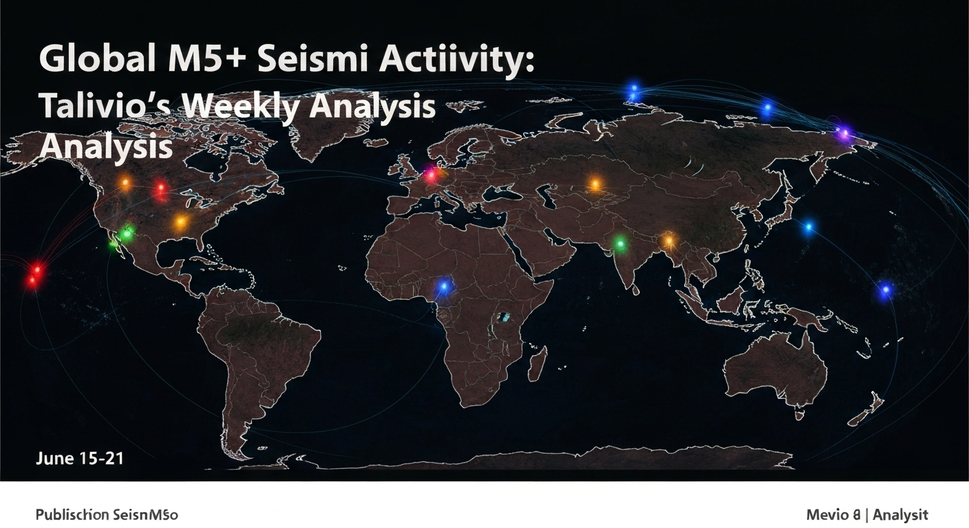
Seismic catalogs capture what has already happened. GNSS networks tell you what is building up. Combining both — retrospective seismicity patterns and prospective strain loading — gives earthquake forecasting models a richer picture of fault system state.
What GNSS Measures
GNSS (Global Navigation Satellite System) stations sample Earth's surface position with millimeter-level precision at daily cadence. In tectonically active regions, these positions drift systematically over years, tracing the movement of crustal blocks. The velocity field — how fast each point moves relative to a stable reference frame — can be inverted to estimate strain accumulation on nearby faults.
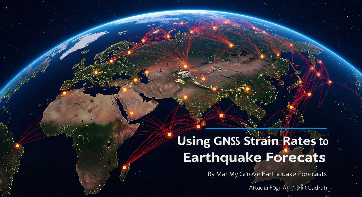
The NGL Network
Talivio draws from the Nevada Geodetic Laboratory (NGL) GNSS database, one of the largest uniformly processed velocity solutions globally. For each monitored region, we identify the nearest 3–12 GNSS stations within the search radius and compute velocity gradient tensors. These capture both the magnitude and orientation of ongoing deformation.
Features Derived from GNSS
The feature engineering pipeline extracts several geodesy-derived signals:
- Maximum shear strain rate: fault-parallel loading intensity
- Dilatational strain rate: volumetric compression/extension
- GNSS velocity anomaly: deviation from the long-term mean (transient signals)
- Strain partitioning ratio: how much of the total deformation goes onto seismically active structures vs. aseismic creep
Spatial Lookup via cKDTree
At prediction time, we build a 3D Cartesian KD-tree of all GNSS stations using the standard spherical-to-Cartesian projection with Earth radius 6,371 km. For a query point (lat, lon), the tree returns the k nearest stations within the search radius, weighted by inverse distance. This runs in O(log n) time even with 10,000+ stations.
When a GNSS station suddenly starts moving faster than its 5-year baseline, that anomaly is a real-time signal of changing fault loading — and it shows up in tomorrow's forecast.
In the Kahramanmaraş region, post-2023 GNSS vectors rotated significantly after the M7.8–M7.7 doublet, reflecting stress redistribution onto adjacent fault segments. Talivio's nightly pipeline picks up these evolving velocities automatically, ensuring that forecast features reflect the post-rupture stress state rather than the pre-2023 baseline.