Introduction: The Hidden Rhythms of the Southern Ocean
Beneath the frigid waters and desolate icescapes of the Southern Ocean lies a realm of profound geological activity, largely unseen and unheard by human ears. The Balleny Islands region, a remote archipelago south of New Zealand, represents a crucial yet challenging frontier in our understanding of global plate tectonics. This area, characterized by its extreme inaccessibility and harsh polar climate, is a nexus of complex interactions between the Pacific and Antarctic plates, making it a hotspot for seismic activity that holds vital clues about Earth's dynamic processes.
Monitoring earthquakes in such a distant and inhospitable environment presents formidable challenges, from the scarcity of seismic stations to the logistical complexities of maintaining equipment in freezing conditions. Yet, the insights gained from studying these tremors are invaluable for refining global tectonic models and enhancing our predictive capabilities. This article delves into the unique seismicity of the Balleny Islands region, exploring its intricate tectonic setting, the nature of its seismic events, and the transformative role of advanced AI-powered platforms like Talivio in unraveling its hidden seismic rhythms.
The Tectonic Tapestry of the Balleny Islands Region
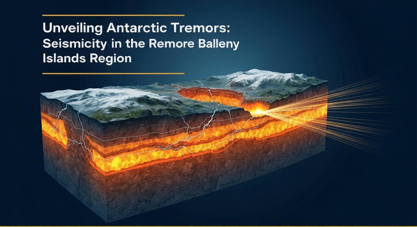
The Balleny Islands are situated within a highly active and complex tectonic zone that marks the boundary between the vast Pacific and Antarctic plates. This region is part of the broader Pacific-Antarctic Ridge system, a major divergent plate boundary extending across the Southern Ocean. However, the tectonics here are far from simple, involving a combination of spreading ridges, transform faults, and microplate interactions that create a mosaic of seismic sources.
Specifically, the Balleny Islands lie near the northern end of the Balleny Fracture Zone, a significant transform fault that accommodates differential motion between segments of the Pacific-Antarctic Ridge. To the west, the Macquarie Ridge Complex, another highly seismic zone, extends towards New Zealand, further complicating the regional stress field. The Pacific plate is generally moving westward relative to the Antarctic plate in this area, resulting in a combination of strike-slip and extensional tectonics. This intricate interplay of forces leads to a diverse range of earthquake mechanisms and magnitudes, reflecting the heterogeneous nature of the plate boundary.
Research indicates that the seismicity in this area is primarily associated with the active spreading centers and transform faults, with earthquake depths typically shallow, consistent with oceanic crustal deformation. Studies examining the regional stress regime and fault structures provide critical context for observed seismic events [DeMets et al., 2000 — 10.1029/2000JB900001]. Understanding these underlying tectonic forces is paramount to interpreting the seismic data collected from this remote corner of the world.
Seismic Activity in an Extreme Environment: A Case Study
Despite its remoteness, the Balleny Islands region experiences significant seismic activity. These events, though often distant from human populations, are crucial indicators of ongoing plate deformation and stress accumulation. The challenges of monitoring such activity are immense. The scarcity of landmasses suitable for permanent seismic stations, coupled with the extreme weather conditions, makes continuous, high-resolution data acquisition exceedingly difficult. Consequently, many events are detected by global networks, which often have limitations in precisely locating and characterizing smaller magnitude earthquakes in this region.
A notable example of seismicity in this area is the M 6.0 earthquake that occurred near the Balleny Islands on June 25, 2017. This event, recorded and analyzed by global seismic networks, provides a snapshot of the region's dynamic nature [USGS Event Page — usgs:us7000sz2b]. While an M 6.0 earthquake might not be considered large in highly active continental zones, its occurrence in such a remote oceanic setting underscores the substantial tectonic forces at play. Such events often involve strike-slip faulting, consistent with the transform fault segments of the plate boundary, or normal faulting associated with spreading centers.
The seismic catalog for the Balleny Islands region, though sparser than for more populated areas, consistently reveals moderate-to-strong earthquakes, typically in the M4.0 to M6.0 range, with occasional larger events. These events contribute to our understanding of the long-term slip rates along the Pacific-Antarctic boundary and the distribution of stress. The infrequent but significant tremors highlight the need for advanced monitoring strategies capable of detecting and analyzing seismic signals amidst high environmental noise, such as those generated by ocean currents and ice movements.
The Pivotal Role of AI and Advanced Monitoring in Polar Seismology
The inherent difficulties of traditional seismic monitoring in remote polar regions underscore the critical need for innovative approaches. This is where advanced computational platforms, particularly those leveraging Artificial Intelligence (AI) and Machine Learning (ML), demonstrate their transformative potential. Talivio, an AI-powered earthquake prediction platform, exemplifies how these technologies are revolutionizing our ability to analyze and interpret seismic data from even the most inaccessible parts of the globe.
Talivio's methodology integrates a sophisticated suite of machine learning algorithms, including LightGBM, Random Forest, ExtraTrees, and Calibrated Logistic Regression, to process vast datasets. These algorithms are trained on an extensive array of 102 seismic features, which are crucial for discerning subtle patterns indicative of impending seismic activity. For instance, features such as GNSS strain rates provide insights into crustal deformation, while b-value anomalies can signal changes in stress accumulation. Coulomb stress transfer calculations assess how one earthquake might influence the likelihood of another, and ETAS (Epidemic Type Aftershock Sequence) parameter estimations help model aftershock sequences and background seismicity [Gulia et al., 2019 — 10.1038/s41467-019-12247-w]. By analyzing these complex features, Talivio's models can identify precursory signals that might be imperceptible through conventional methods, especially in noisy, data-sparse environments like the Balleny Islands.
Furthermore, Talivio categorizes seismic risk into distinct magnitude bands (M4-5, M5-6, M6-7, M7+). This multi-band ML system allows for a nuanced assessment of potential earthquake magnitudes, providing more actionable insights. For regions like the Balleny Islands, where moderate earthquakes are common, accurately characterizing events within the M4-5 and M5-6 bands is vital for understanding the regional stress field and improving long-term hazard assessments. The application of such advanced AI models significantly enhances the resolution and accuracy of seismic catalogs, enabling a more comprehensive understanding of plate dynamics and earthquake generation processes globally [Stein, 1999 — 10.1029/1999JB900088].
The continuous development and deployment of these AI-driven systems are pivotal. They allow researchers to overcome the limitations imposed by geographical remoteness and harsh climates, transforming raw, often incomplete, seismic data into meaningful geological intelligence. The ability of AI to learn from complex, non-linear relationships within seismic data ensures that even subtle shifts in tectonic behavior in areas like the Balleny Islands can contribute to a more robust global earthquake prediction framework.
Conclusion: Illuminating Earth's Hidden Tremors
The Balleny Islands region stands as a testament to the Earth's relentless geological activity, even in its most isolated corners. Its complex tectonic setting at the Pacific-Antarctic plate boundary makes it a critical natural laboratory for understanding divergent plate movements and transform fault dynamics. While the challenges of monitoring seismicity in such an extreme polar environment are considerable, the advent of AI-powered platforms like Talivio is fundamentally changing the landscape of seismic research.
By leveraging sophisticated machine learning algorithms and a comprehensive suite of seismic features, Talivio is enabling an unprecedented level of detail and accuracy in earthquake analysis, even for remote events. This capability is not just about detecting tremors; it's about deciphering the intricate language of our planet's interior, providing clearer insights into stress accumulation, plate interactions, and the mechanics of earthquake generation. As our technological capabilities continue to advance, the hidden rhythms of places like the Balleny Islands will become increasingly transparent, contributing to a more complete and predictive understanding of global seismicity.