The Black Sea is rarely the first place that comes to mind when people in Turkey talk about earthquakes; attention usually goes to the Marmara, the Aegean and Eastern Anatolia. Yet in the three months between 15 June and 15 September 2026, fourteen earthquakes of magnitude 3.0 or larger were recorded in the offshore Black Sea, the largest being two M4.3 events off Crimea. In this post we go through the last three months region by region and summarise, from the data, the basin's tectonic structure and the traces it has left in history.
What happened in the last three months?
This review is based on the catalogues of the European-Mediterranean Seismological Centre (EMSC) and the U.S. Geological Survey (USGS). Because agencies use different magnitude scales, reported values can differ by a few tenths; for events above M4 we use the USGS values. None of these events has been associated with reports of damage or casualties.
| Date (UTC) | Area | Magnitude | Source |
|---|---|---|---|
| 16 June 2026 | Offshore, about 55 km north of the Bosphorus | M3.5 | EMSC |
| 22 June 2026, 05:48 | 22 km SW of Sevastopol, offshore Crimea | M4.3 | USGS us7000sv3t |
| 22 June 2026, 11:07 | 30 km WSW of Balaklava, offshore Crimea | M4.3 | USGS us7000sv6r |
| 3 July 2026 | Offshore Crimea | M3.7 | EMSC |
| 6 and 30 July 2026 | Offshore Sochi, Caucasus coast | M3.6 and M3.8 | EMSC |
| 9 July 2026 | Western Black Sea basin | M3.5 | EMSC |
| 14 August 2026, 07:26 | About 150 km SE of the Romanian coast, western basin | M4.2 | USGS us6000tlw0 |
| 16 August 2026, 22:22 | 37 km WSW of Balaklava, offshore Crimea | M4.1 | USGS us6000tmi1 |
Offshore Crimea: five earthquakes in one day
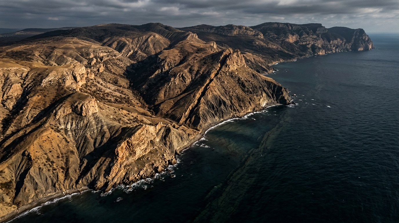
The most notable activity of the period was off the south-western tip of the Crimean Peninsula. On 22 June, five earthquakes between M3.0 and M4.3 were recorded within roughly nine hours, the two M4.3 events being the largest. The same area was active again with an M3.7 on 3 July, an M4.1 on 16 August and an M3.0 on 25 August, bringing the total to eight M3+ events there in three months. The location is worth noting: the earthquakes that shook Crimea in 1927 originated about 100 km to the east, off Yalta.
The western basin and the Caucasus coast
In the western Black Sea basin, more than 150 km off the Romanian and Bulgarian coasts, an M3.5 was recorded on 9 July, an M3.0 on 23 July and an M4.2 on 14 August. In the east, two earthquakes of M3.6 and M3.8 occurred off the Russian city of Sochi on 6 and 30 July.
The Turkish coast
On the Turkish side, the largest offshore event was an M3.5 on 16 June, about 55 km north of the Bosphorus. Several smaller earthquakes between M2.1 and M2.7 occurred off Zonguldak, Bartın, Kastamonu and Sinop during June and July. Kandilli Observatory recorded an ML 2.7 at a depth of 8.6 km off Bulancak (Pazarsuyu), Giresun, at 02:12 local time on 14 September. On land, an M4.3 struck near Ilgaz on the Kastamonu–Çankırı border on 21 August (USGS us6000tmct); that event occurred not at sea but within the North Anatolian Fault zone.
Why does the Black Sea produce earthquakes?
The Black Sea is not a single depression but two deep basins, western and eastern. The western basin opened as a back-arc rift in the Cretaceous; the continental fragment on which Istanbul now sits was torn from the Odessa shelf and moved south during that opening [Okay, Şengör and Görür, 1994 — Geology 22(3):267–270]. The opening of the basins ended tens of millions of years ago; today the region is under compression and seismic activity is concentrated largely along the margins of the basin [Kalafat, 2018 — Springer Natural Hazards].
Those marginal zones match the map of the last three months:
- Northern and north-eastern margin: the belt running from south of the Crimean Mountains to the Caucasus coast. The June–August sequence and the events off Sochi lie within it.
- Western margin: offshore Bulgaria and Romania, where the largest recorded Black Sea earthquake occurred.
- Southern margin: the Turkish coast. Offshore activity is relatively low; the main earthquake hazard for Turkey's Black Sea region lies on land, along the North Anatolian Fault that runs parallel to the coast.
What does history tell us?
The image of a "quiet sea" is contradicted by three earthquakes of the instrumental era. All three caused damage on the coast, and all three generated a small or moderate tsunami.
- 31 March 1901, Balchik (Bulgaria), Mw 7.2: the largest earthquake recorded in the Black Sea. The hypocentre lay off Cape Kaliakra at a depth of about 14 km, and widespread landslides and rockfalls occurred along the coast [Vasilev et al., 2021 — Frontiers in Earth Science 8:586283]. Eyewitness-based accounts describe tsunami waves of 2.5–3 metres in the port of Balchik (summary).
- 11 September 1927, offshore Yalta (Crimea), Mw 6.7: the main event, following an earthquake in June, was recorded together with a tsunami that reached about one metre on the coast. Flames rising from the sea after the earthquake, linked to gas release from the seafloor, were documented as a striking detail [Shnyukov, Kobolev and Yanko, 2025 — Anomalous Gas Volcanism in the Black Sea].
- 3 September 1968, Bartın–Amasra, Mw 6.5: the largest instrumentally recorded earthquake on Turkey's Black Sea coast. Twenty-four people died and 2,478 buildings were damaged; the sea advanced about 100 metres inland (summary).
The link between the 2026 Crimean sequence and this history is one of location only: the events lie in the coastal belt that produced 1927, but west of that earthquake's source. Whether a sequence is the foreshock of a larger earthquake can only be established afterwards. A classic study of Californian data found the probability that any earthquake is followed by a larger one to be on the order of a few per cent [Reasenberg and Jones, 1989 — Science 243:1173–1176]. Three months have passed since the M4.3 events of June, and no larger event has been recorded in the same area.
How does Talivio look at this region?
The assessment in this post is not a forecast; it is a status summary compiled from earthquake catalogues. The Black Sea basins are not currently among the regions for which Talivio produces daily forecasts; the nearest forecast region is Istanbul and the Marmara, with a 250 km radius. We follow events inside the basin through the USGS, AFAD and EMSC catalogues. Bringing active marginal zones such as Crimea and the western basin into forecast coverage first requires building a catalogue for those zones that is long enough and uses a consistent magnitude scale.
Conclusion
The records of the last three months show that the Black Sea is not seismically silent, but that its activity is concentrated in specific marginal zones. The largest events between June and August stayed at around M4.3, and none caused damage. History, however, is a reminder that this sea can produce destructive earthquakes and tsunamis that reach the coast, as in 1901, 1927 and 1968. For people living on the coast the practical conclusion is clear: if you feel strong or long-lasting shaking at the shore, move to higher ground without waiting for an official warning — the basic behaviour in AFAD's tsunami guidance.